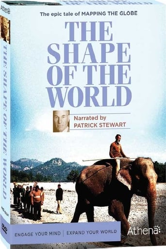


The Shape of the World (1991)
Reveals how maps shape not only our sense of geography, but also our social, political, and even religious thinking. In the past, mapmakers have provoked assassinations, won or lost wars, and opened the ways to wealth and power. Today, they help answer the crises of epidemics and climate change. Narrated by Patrick Stewart. Shown over six weeks on PBS, from April 1, 1991 to May 6, 1991, The Shape of the World uses the subject of mostly old maps to cover history, from Eratosthenes, the Egyptian Greek who figured out the circumference of the Earth over 2,200 years ago to modern (in 1990) satellite mapping using computers. The film crews go all over the world, from Portugal to Mexico to the Palio in Siena to the Far East. 3-disc set Released August 2009 The epic tale of mapping the globe, as seen on PBS. Produced in consultation with the British Library and Royal Geographical Society-the world's largest scholarly organization dedicated to the science of geography. "Explores the history of mapmaking with elegance and intelligence" - The New York Times. How do we see the world? Some ancients believed it rode on the back of a turtle. The Greeks viewed it as a sphere and measured it with astonishing accuracy. Today, scientists monitor it from space, detecting complex climate patterns that threaten our survival. Narrated by Patrick Stewart (X-Men, Star Trek: The Next Generation), this fascinating six-part series traces the history of mapmaking, from crude clay tablets to sophisticated electronic screens. Internationally respected historians, NASA scientists, and other experts explain how humans rely on imagination, observation, and mathematics to create pictures that make sense of our world. Throughout history, maps have served as symbols of wealth and power, tools of conquest and subjugation, and instruments for saving lives. They once held information worth killing for, and now they offer clues that might avert global destruction.
Country:
Language:
Runtime:
Season 1:

A "crude, flat disc" made by Babylonians is the oldest world map; Greeks speculate on the world and come up with a lot of answers, some accurate; China prints maps and embroiders them on silk; and Christians seek "paradise" as ancient views of the world are examined.

When overseas trade for spices and other precious commodities sparked bitter rivalries, charts became instruments of wealth and power. At various times, the Dutch, Portuguese, Venetians, and the Spanish used their superior knowledge of the oceans to gain the upper hand.

Explorers including Christopher Columbus, Hernando Cortez, and Sir Walter Raleigh stake claims for their countries, Holland's sneaky move gives it control of the spice trade, and John Harrison develops the marine chronometer.

France shrinks, or at least appears to, when accurate maps are surveyed. As the British cement their rule over India with a grand surveying project, George Everest "[lays] the foundation of modern surveying."

The aerial camera helps mapmaking. In the twentieth century, surveying aids the search for oil and gold, radar maps the Brazilian rainforest, Monaco charts the undersea world, satellites map the Earth from space, and three-dimensional computer maps take shape.

The beneficial effect of maps—of ambulance routes, air traffic control, forest fires, natural disaster and disease patterns, global climate change, and the human brain—is charted.


